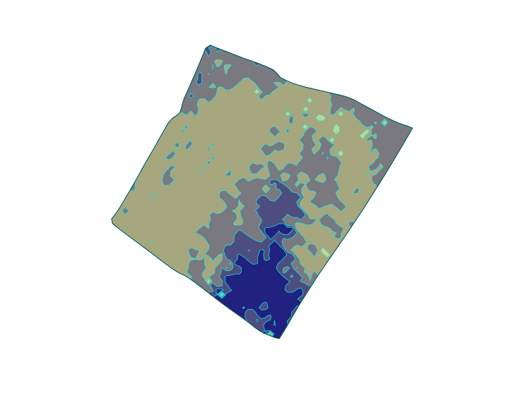
Soil zoning
Using information based on the farmer’s own knowledge and/or soil texture maps based on satellite imagery or electrical conductivity scanning,soil management zones are created.These can be used to develop variable rate application maps for inputs such as seed,nitrogen,phosphate,potash,magnesium,and lime.
